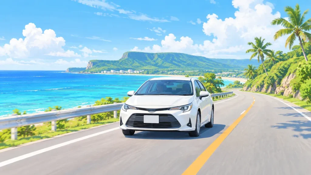
Driving the southern loop of Guam, the only road that circles a large part of the island, takes about 2 to 2.5 hours without stops and covers roughly 55 to 65 miles (90 to 105 km) from Tumon and back. If you want to stop at the overlooks, villages and bays along the way, plan half a day to a full day.
- Without stops: about 2 to 2.5 hours for the southern loop from Tumon (Route 1, Route 2 and Route 4).
- With stops: plan 4 to 6 hours. A relaxed day with longer stops can take 7 hours or more.
- Distance: roughly 55 to 65 miles (90 to 105 km), depending on where you start and which detours you take.
- The north is different: there is no coastal road around northern Guam. Much of the northern coast is inside military bases or protected land, so a northern drive is an out-and-back trip, not a loop.
- Why it takes longer than the distance suggests: speed limits change from one section of road to the next, some sections are posted at 35 mph or lower, village sections are slower, and traffic on Route 1 can add time.
Distances and driving times in this article are approximate. The total loop distance and the legs marked with an asterisk (*) in the table below were checked on Google Maps on October 28, 2026. The other figures are estimates based on published travel guides, maps and National Park Service directions.
How far is the drive around southern Guam?
The full southern loop from Tumon is roughly 55 to 65 miles and about 2 to 2.5 hours of driving time. The table below breaks it into legs, driving clockwise (west coast first). Times are for driving only, in normal daytime traffic.
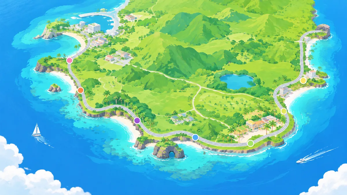
| Leg | Main road | Distance (approx.) | Driving time (approx.) |
|---|---|---|---|
| Tumon → Hagåtña | Route 1 | 4 mi (6 km) | 10–15 min |
| Hagåtña → Asan Bay Overlook | Route 1, Route 6 | 4 mi (6 km) | 10–15 min |
| Asan → Agat | Route 6, Route 1, Route 2 | 8 mi (13 km) | 15–20 min |
| Agat → Sella Bay and Cetti Bay overlooks | Route 2 | 6 mi (10 km) | 15 min |
| Cetti Bay → Umatac | Route 2 | 2 mi (3 km) | 5 min |
| Umatac → Merizo * | Route 4 | 4 mi (7 km) | 10 min |
| Merizo → Inarajan * | Route 4 | 6 mi (10 km) | 10–15 min |
| Inarajan → Talofofo Bay * | Route 4 | 5 mi (8 km) | 10 min |
| Talofofo Bay → Pago Bay Overlook * | Route 4 | 8 mi (13 km) | 15 min |
| Pago Bay Overlook → Hagåtña * | Route 4 | 6 mi (10 km) | 15 min |
| Hagåtña → Tumon * | Route 1 | 4 mi (6 km) | 10–15 min |
| Total | About 55–65 mi (90–105 km) | About 2–2.5 hours |
* Checked on Google Maps on October 28, 2026. The legs without a mark are estimates and have not yet been checked one by one. The leg distances are rounded, so they may not add up exactly to the total. If you start from a hotel outside Tumon, add the time to and from Tumon.
For details on individual stops, see our southern Guam drive series, such as Agat Marina and Inalåhan Natural Pool.
Can you drive all the way around Guam?
No. You can loop the southern half, but there is no road around the northern coast. Guam is about 30 miles (48 km) long and 4 to 12 miles wide, and much of its northern end is taken up by Andersen Air Force Base and other restricted or protected land. Visitors cannot drive through the bases.
What this means for planning:
- South: a true loop. Route 2 runs down the west coast and Route 4 runs back up the east coast, meeting at Umatac.
- North: short out-and-back drives. Two Lovers Point, for example, is about 10 minutes from Tumon. It charges an entrance fee, so check the current fee before you go.
- Center: Hagåtña sits where the routes meet, so it is easy to add at the start or end of the loop.
Which direction should you drive the loop?
Either direction works, and the driving time is about the same. Choose by what you want to see in better light.
| Direction | Route | Good for |
|---|---|---|
| Clockwise (west coast first) | Route 1 south → Route 2 → Umatac → Route 4 north | Seeing the west-coast overlooks early in the day, then driving back up the east coast |
| Counterclockwise (east coast first) | Route 4 south → Umatac → Route 2 → Route 1 north | Ending on the west coast near sunset, with the sun setting over the sea at the Agat and Asan viewpoints |
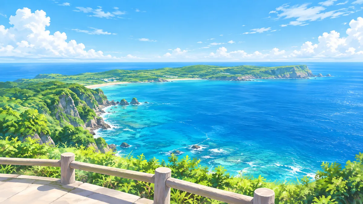
One practical point: if you plan to watch the sunset, the drive back to Tumon will be after dark, so leave a little extra time for the return. Asan Bay Overlook closes to cars at about 5 p.m., so visit it earlier in the day.
What makes the drive take longer?
The loop is short on the map, but the average speed is low. These are the usual reasons a 2-hour drive becomes 3:
- Speed limits: under Guam law (16 GCA § 3301), driving faster than 45 mph is not allowed on any road. Below that, the limit is set section by section, so it can change several times along the same route. Some sections are posted at 35 mph, and lower limits are posted in some areas, such as near schools, on village roads and in work zones. Do not assume one limit for the whole loop; follow each posted sign.
- Villages: Route 2 and Route 4 pass straight through Agat, Umatac, Merizo, Inarajan and Talofofo, with crosswalks, churches and school zones.
- Traffic: Route 1 between Tamuning and Hagåtña can be slow when traffic is heavy.
- Rain: wet roads can be slippery, and sudden showers are common. Slow down and keep a longer gap.
- Daylight: the southern roads have long stretches with little street lighting. Plan to finish the loop before dark, especially from November to February, when the sun sets around 6 p.m.
How much time should you plan with stops?
Plan 4 to 6 hours for the southern loop with stops. Choose the version that fits your day:
| Plan | Time | What it covers |
|---|---|---|
| Quick loop | About 3 hours | Driving the loop with 3 or 4 short photo stops (Asan Bay Overlook, Cetti Bay Overlook, Umatac, Inarajan) |
| Half day | 4–5 hours | The quick loop plus a walk at Fort Soledad in Umatac and time at the Inarajan natural pool |
| Full day | 6–8 hours | A relaxed loop with a swim, a picnic and time in Hagåtña at the start or end |
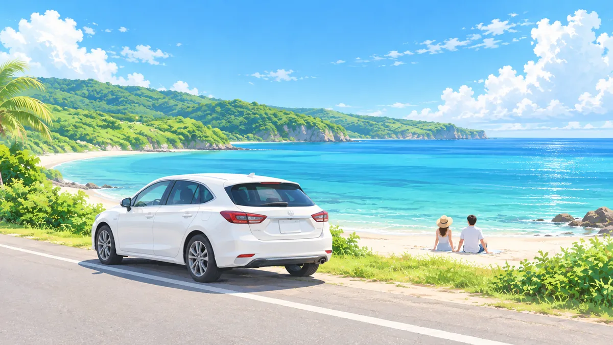
Leave 15 to 30 minutes for each stop where you get out of the car, and longer anywhere you plan to swim. Check that each place is open before you go, because sites can close for repairs or weather. At Asan Bay Overlook, the overlook is open every day, but the National Park Service blocks vehicle access at about 5 p.m.
Before you set out
A few minutes of preparation keeps the loop easy:
- Fill the tank first. Gas stations are farther apart in the south. Fill up in Tumon, Hagåtña or Agat before heading into the southern villages.
- Register every driver. If two people will share the driving, add the second driver to the rental agreement. An unregistered driver is usually not covered.
- Bring water and sun protection. Many stops are open viewpoints with little shade.
- Download an offline map. It keeps the route on your phone if you lose mobile signal.
- Start by mid-morning. That leaves daylight for stops and the drive back.
- Keep the rental company’s emergency number handy. If anything happens on the road, call the police and the rental company before driving on.
Frequently asked questions
How many miles is it around Guam?
The southern loop from Tumon is roughly 55 to 65 miles (90 to 105 km). There is no road around the northern coast, so there is no full-island loop.
Can you drive around Guam in one day?
Yes. The southern loop takes about 2 to 2.5 hours of driving, so a single day leaves plenty of time for stops. Plan 4 to 6 hours if you want to stop along the way.
What is the speed limit on Guam?
Under Guam law, driving faster than 45 mph is not allowed on any road. Below that, limits differ from one section of road to another: some sections are posted at 35 mph, and lower limits apply in some areas, such as near schools. Always follow the posted sign for the section you are on.
Do I need a car to see southern Guam?
A car is the most flexible way. A public bus does serve some southern villages, but it runs on a fixed route and schedule, so stopping at overlooks and beaches along the way is difficult. A rental car lets you stop wherever you like.
Summary
Driving around southern Guam takes about 2 to 2.5 hours without stops and covers roughly 55 to 65 miles. Plan 4 to 6 hours with stops, start by mid-morning, fill the tank before heading south, and aim to finish before dark. When comparing rental cars for the trip, check the total price with protection included and confirm that mileage is unlimited.
The total loop distance and some leg distances and times were checked on Google Maps on October 28, 2026. Speed limits, Asan Bay Overlook access and bus service were checked on October 29, 2026. All distances and times are approximate and depend on traffic, weather and road work. Check site opening times before you go.