Become the Guam Master!
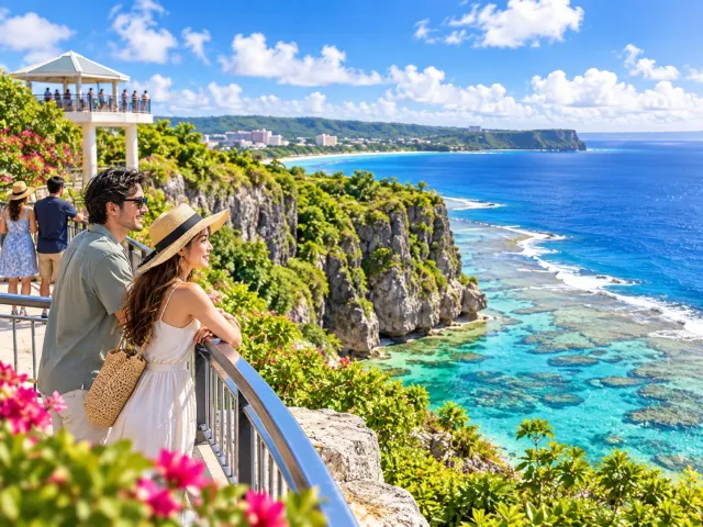
Learn 4,000 Years of Guam History, Geography and Culture in 40 Questions
From ancient CHamoru life through the Spanish era and the war years to Guam today – plus the island’s landscape, language and food.
40 Questions (20 History, 10 Geography, 10 Culture/Nature/Life)
All answers and explanations
About when are the ancestors of the CHamoru believed to have begun living in the Mariana Islands, including Guam?
- A About 500 years ago
- B About 1,500 years ago
- C More than 3,500 years ago
Answer: C. More than 3,500 years ago
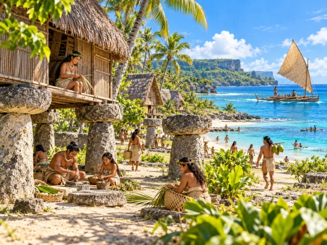
The ancestors of the CHamoru are believed to have settled in the Mariana Islands, including Guam, at least 3,500 years ago. Archaeological research dates the first settlement of the Marianas to around 1500 BCE, and the Guam Visitors Bureau likewise says CHamoru ancestors arrived more than 3,500 years ago. This means Guam already had its own society and culture more than 3,000 years before Europeans arrived in 1521. The ancestors of the CHamoru are thought to have crossed the ocean from Southeast Asia and possessed sophisticated seafaring skills.
How are the ancestors of the ancient CHamoru believed to have reached Guam?
- A They walked from a continent
- B They crossed the ocean by canoe and similar vessels
- C They migrated aboard European ships
Answer: B. They crossed the ocean by canoe and similar vessels
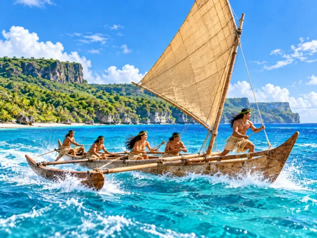
The ancestors of the CHamoru are believed to have voyaged from Southeast Asia across the Pacific by canoe and settled in the Mariana Islands, including Guam. Ancient CHamoru navigators read natural signs such as stars, winds, waves, currents and seabirds. They also built fast-sailing outrigger canoes called proas for travel and trade among the islands.
What was the fast sailing canoe used by ancient CHamoru people called?
- A Proa
- B Galleon
- C Junk
Answer: A. Proa
Ancient CHamoru people used fast sailing outrigger canoes called proas. CHamoru navigators traveled among islands by reading stars, waves and winds, demonstrating a sophisticated ocean-going culture long before Europeans arrived. A galleon, by contrast, was a large sailing ship used by the Spanish Empire from the 16th century onward and was not an ancient CHamoru vessel.
What were Guam’s iconic latte stones mainly used for?
- A To secure boats
- B To support houses and other buildings
- C As weapons in warfare
Answer: B. To support houses and other buildings
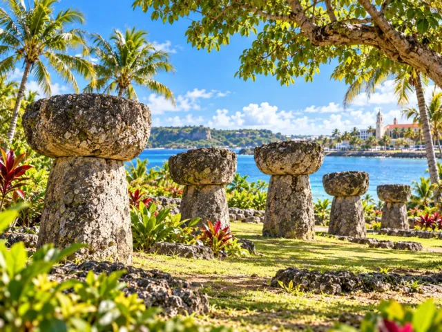
Latte stones were used in ancient CHamoru society as foundations that raised and supported houses and other structures above the ground. Wooden and thatched buildings were constructed on top of rows of these stone supports. They existed before Europeans arrived on Guam. Today, latte stones are not merely archaeological remains; they are important symbols of CHamoru culture and of Guam itself.
What are the two main parts of a latte stone called?
- A Haligi and tasa
- B Proa and tasa
- C Haligi and galleon
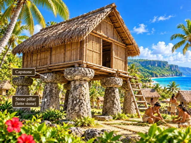
Answer: A. Haligi and tasa
A latte stone consists of a lower pillar called the haligi and a bowl- or cap-shaped stone placed on top called the tasa. Multiple latte stones were arranged in parallel rows, with wooden buildings constructed above them. Latte structures are important archaeological evidence of the building technology of ancient CHamoru society.
Who led the expedition recorded as the first European arrival at Guam in 1521?
- A Christopher Columbus
- B Ferdinand Magellan
- C James Cook
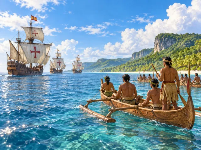
Answer: B. Ferdinand Magellan
In March 1521, an expedition led by the Portuguese-born navigator Ferdinand Magellan reached the Mariana Islands. Magellan was Portuguese, but on this voyage he was not sailing for Portugal; he commanded an expedition sponsored by King Charles I of Spain. This event produced written European records of contact with the CHamoru people of Guam. Guam did not immediately become a Spanish colony in 1521: Spain claimed Guam in 1565, and sustained colonization began in 1668.
Who declared Guam a possession of Spain in 1565?
- A Miguel López de Legazpi
- B Ferdinand Magellan
- C Diego Luis de San Vitores
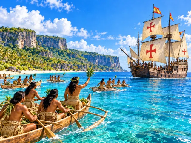
Answer: A. Miguel López de Legazpi
In 1565, the Spanish explorer and colonial administrator Miguel López de Legazpi declared Guam a possession of Spain. Legazpi conducted Pacific expeditions under King Philip II of Spain and later played a central role in Spain’s colonization of the Philippines. However, Spain did not establish a permanent colonial government on Guam in 1565. Sustained colonial rule and Catholic missionary activity began about a century later, in 1668.
In what year did sustained Spanish colonization and Catholic missionary activity begin on Guam?
- A 1521
- B 1565
- C 1668
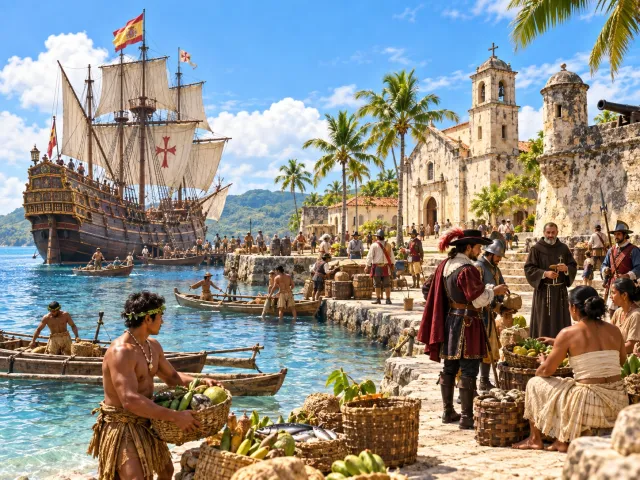
Answer: C. 1668
In 1668, the Spanish Jesuit missionary Diego Luis de San Vitores arrived on Guam with missionaries and assistants. This marked the beginning of a permanent Spanish presence, organized Catholic missionary work and sustained colonial rule. A useful timeline is: 1521, Magellan’s arrival; 1565, Spain’s claim to Guam; 1668, the beginning of sustained Spanish colonization.
Diego Luis de San Vitores, who arrived on Guam in 1668, was from which country?
- A Spain
- B Portugal
- C France
Answer: A. Spain
Diego Luis de San Vitores was a Spanish Jesuit missionary. He arrived on Guam in 1668 and led the expansion of Catholic missionary activity. San Vitores obtained support from the Spanish Crown for missionary work in the Mariana Islands. The name “Mariana Islands” itself honors Queen Mariana of Austria, the queen regent of Spain who supported the mission. As Spanish religious and political control expanded, conflict with CHamoru society intensified.
What is the series of conflicts between Spanish forces and the CHamoru people in the late 17th century commonly called?
- A Spanish–American War
- B Spanish-Chamorro Wars
- C Pacific War
Answer: B. Spanish-Chamorro Wars
After Spanish missionary Diego Luis de San Vitores and others began sustained missionary work and colonization in 1668, conflict between Spanish authorities and the CHamoru people intensified. Intermittent fighting continued for roughly three decades and is commonly known as the Spanish-Chamorro Wars. Spanish authorities used military force to strengthen control, while CHamoru communities resisted. European-introduced diseases also had a severe impact on the Indigenous population.
Under Spanish rule, what was the policy known as Reducción?
- A A policy of concentrating residents into church-centered villages
- B A policy of relocating all residents to Spain
- C A policy of turning all of Guam into military bases
Answer: A. A policy of concentrating residents into church-centered villages
Beginning around 1680, Spanish authorities advanced a resettlement policy known as Reducción. CHamoru residents who had lived in dispersed communities were moved into designated villages centered on Catholic churches. According to the U.S. National Park Service, many residents were eventually concentrated in six principal villages. Spanish authorities used the policy to extend Catholicism, Spanish law and colonial administration into everyday life.
About how long was Guam a Spanish possession?
- A About 130 years
- B About 180 years
- C About 333 years
Answer: C. About 333 years
In 1565, the Spanish explorer Miguel López de Legazpi claimed Guam for Spain. In 1898, as a result of the Spanish-American War, Guam became a possession of the United States. 1898 − 1565 = 333, so Guam was a Spanish possession for about 333 years. Spaniards began living on the island and running a colonial government and Catholic missions in earnest from 1668.
During Spanish rule, which route made Guam an important stopover?
- A The route between Manila and Acapulco
- B The route between London and New York
- C The route between Tokyo and Honolulu
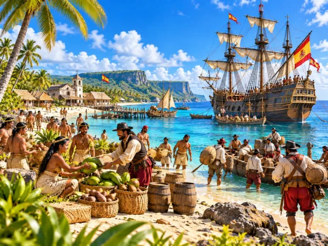
Answer: A. The route between Manila and Acapulco
From the 16th century to the early 19th century, the Spanish Empire operated large galleons between Manila in the Philippines and Acapulco in New Spain, now Mexico. Guam lay along this trans-Pacific route and became an important stop for water, food and other supplies. The Manila galleon trade moved people, goods, plants, animals and cultural influences among Asia, the Pacific and the Americas.
Which war led to the end of Spanish rule and Guam becoming a U.S. possession in 1898?
- A World War I
- B Spanish-American War
- C Pacific War
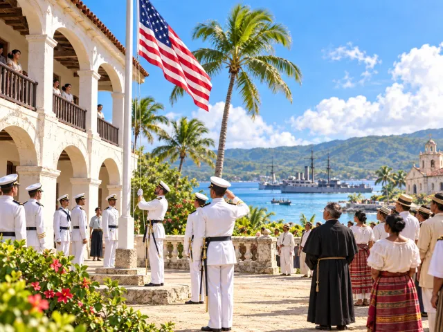
Answer: B. Spanish-American War
In 1898, the Spanish-American War was fought between the United States and the Kingdom of Spain. U.S. forces took Guam in June 1898, and under the Treaty of Paris signed in December, Spain ceded Guam to the United States. This ended the period of Spanish possession that had begun with Spain’s claim in 1565 and brought Guam under U.S. rule.
Which U.S. organization mainly governed Guam from 1898 until World War II?
- A U.S. Navy
- B U.S. Air Force
- C U.S. Department of State
Answer: A. U.S. Navy
After acquiring Guam in 1898, the United States placed the island under the jurisdiction of the U.S. Navy. Naval officers served as governors, and a naval government administered the island. This system continued until Japanese forces occupied Guam in 1941. Naval administration returned after World War II, but the Organic Act of Guam in 1950 shifted federal responsibility from the Navy to the Department of the Interior.
In what year did Japanese forces occupy the U.S. territory of Guam?
- A 1939
- B 1941
- C 1944
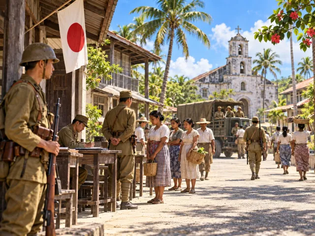
Answer: B. 1941
In December 1941, Japanese forces attacked Guam, which was then a U.S. territory. On December 10, 1941, U.S. Navy Governor George McMillin surrendered to Japanese forces, and Japan occupied the island. This occurred at nearly the same time as Japan’s attack on Pearl Harbor. Guam remained under Japanese occupation for about two years and seven months, until U.S. forces landed in July 1944.
What was Guam renamed during the Japanese occupation?
- A Omiya Jima
- B Nanyo Jima
- C Shin Tokyo Jima
Answer: A. Omiya Jima
After occupying Guam in December 1941, Japanese authorities renamed the island Omiya Jima. According to the U.S. National Park Service, Japanese currency was used under the occupation government, and CHamoru children and adults were subjected to Japanese-language and cultural instruction. As the war worsened, forced labor, food requisitioning, movement restrictions and violence became increasingly severe.
Which country’s forces landed on Guam on July 21, 1944, to retake the island from occupying Japanese forces?
- A United States
- B United Kingdom
- C Australia
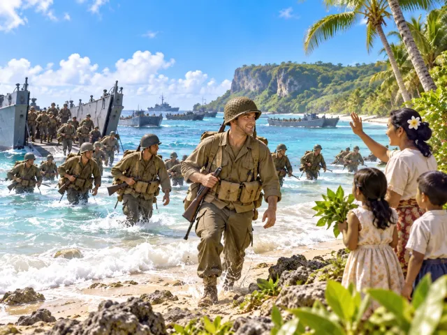
Answer: A. United States
On July 21, 1944, U.S. forces landed near Asan and Agat (Hågat) to retake the U.S. territory of Guam from occupying Japanese forces. Fierce fighting between U.S. and Japanese forces continued for about three weeks. U.S. forces defeated the organized Japanese defense, and on August 10, 1944, the end of organized Japanese resistance on the island was declared. July 21 marks the beginning of the U.S. landings, while August 10 marks the effective completion of the recapture. Guam commemorates July 21 as Liberation Day. Japan as a nation surrendered to the Allies in August 1945, about a year later.
What major change resulted from the Organic Act of Guam in 1950?
- A Guam became an independent country
- B U.S. citizenship was granted to many Guam residents and a civilian government was established
- C Guam was incorporated into the State of Hawaii
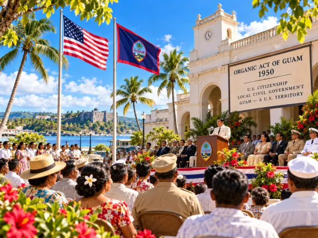
Answer: B. U.S. citizenship was granted to many Guam residents and a civilian government was established
In 1950, the United States enacted the Organic Act of Guam. The law granted statutory U.S. citizenship to many residents of Guam and established a civilian government with institutions including a legislature. Federal responsibility for Guam was also transferred from the U.S. Navy to the Department of the Interior. Guam did not become independent in 1950; the act is fundamental to understanding the modern self-government structure of Guam as a U.S. territory.
Which statement correctly describes Guam’s current relationship with the United States?
- A Guam is one of the 50 U.S. states
- B Guam is an independent country
- C Guam is an unincorporated U.S. territory
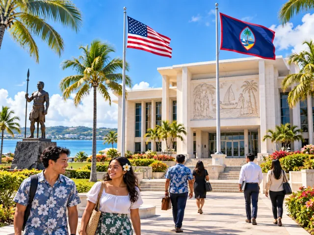
Answer: C. Guam is an unincorporated U.S. territory
Guam is currently an organized, unincorporated territory of the United States. It is not one of the 50 states and it is not an independent country. Under the 1950 Organic Act, many Guam residents are U.S. citizens, but U.S. citizens residing in Guam cannot vote for presidential electors in the general presidential election. Guam also elects a Delegate to the U.S. House of Representatives, but that Delegate does not have the same final floor-voting power as a representative from a state. The key point is that Guam is U.S. territory, but not a state.
Within the Mariana Islands, what is Guam?
- A The northernmost island
- B The largest and southernmost island
- C The smallest island
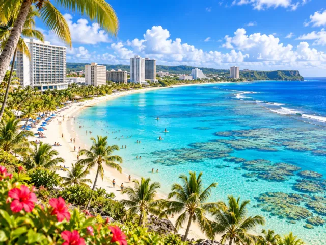
Answer: B. The largest and southernmost island
Guam lies in the Mariana Islands of the western Pacific and is both the largest and the southernmost island in the chain. The U.S. Geological Survey describes Guam as the largest and southernmost of the Mariana Islands. To the north are islands such as Rota, Tinian and Saipan in the Northern Mariana Islands. Guam is therefore not an isolated island nation, but a U.S. territory at the southern end of the Mariana chain.
What is the capital of Guam?
- A Hagåtña
- B Tumon
- C Dededo
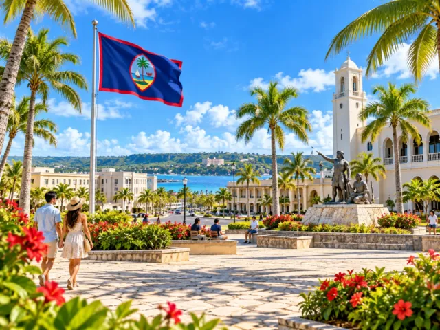
Answer: A. Hagåtña
The capital of Guam is Hagåtña. Located on the west-central coast, Hagåtña is the seat of the executive, legislative and judicial branches of the Government of Guam. In 1686, during Spanish rule, a royal decree designated it as the capital of the Marianas. Tumon is the island’s main hotel and tourism district today, but Hagåtña remains the political and administrative capital.
About how long is Guam from north to south?
- A About 15 km
- B About 30 km
- C About 48 km
Answer: C. About 48 km
Guam is a long, narrow island measuring about 30 miles, or roughly 48 km, from north to south. Its land area is roughly 540–550 square km, and its width varies considerably by location. Although compact, the island’s landscape changes markedly between the limestone north and the hillier volcanic south.
How many administrative “villages” does Guam have today?
- A 10
- B 15
- C 19
Answer: C. 19
Guam has 19 administrative villages. The Mayors’ Council of Guam states that the island is divided into 19 villages, each served by a mayor’s office. Examples include Hagåtña, Dededo, Tamuning-Tumon-Harmon, Yigo and Malesso’. Learning the village system helps visitors see Guam not only as a resort destination but as an island of distinct local communities, histories and fiestas.
What is the highest point on Guam?
- A Mount Barrigada
- B Mount Lamlam
- C Mount Santa Rosa
Answer: B. Mount Lamlam
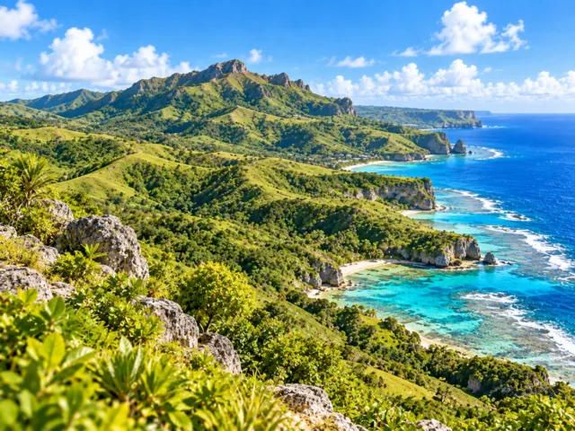
Guam’s highest point is Mount Lamlam in the south, at about 406 m (1,332 ft) above sea level. “Lamlam” is a CHamoru word associated with lightning or something shining. Although it is not high by global above-sea-level standards, its proximity to the extraordinarily deep Mariana Trench creates a dramatic vertical relief often highlighted in Guam tourism materials. It is also a popular hiking destination.
Which description of Guam’s terrain is correct?
- A The north is mainly limestone plateau; the south is mainly volcanic terrain
- B The north is volcanic; the south is desert
- C The entire island is the same limestone plateau
Answer: A. The north is mainly limestone plateau; the south is mainly volcanic terrain
Guam has a strong geological contrast between north and south. According to the USGS, highly permeable limestone dominates much of northern Guam, creating a relatively flat limestone plateau. In the south, older volcanic rocks are widely exposed, producing hills, mountains, valleys and streams. This geological difference also explains why groundwater dominates in the north while surface streams are much more important in the south.
Why does rainwater in northern Guam tend to soak underground rather than form many surface rivers?
- A Because there are glaciers
- B Because it almost never rains
- C Because highly permeable limestone is widespread
Answer: C. Because highly permeable limestone is widespread
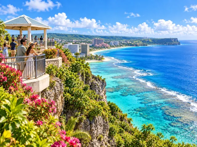
Northern Guam is dominated by limestone containing many pores, fractures and solution channels, so rainwater infiltrates readily rather than remaining on the surface. This forms a freshwater groundwater lens beneath the north. The USGS notes that groundwater supplies most of Guam’s drinking water, making the northern limestone aquifer especially important. Southern volcanic rocks are less permeable, so streams and surface runoff are more developed there.
What is the deepest known point in the world ocean, located in the Mariana Trench near Guam?
- A Puerto Rico Deep
- B Challenger Deep
- C Java Deep
Answer: B. Challenger Deep
The deepest known point in the world ocean is Challenger Deep in the southern Mariana Trench. NOAA gives a depth of about 10,935 m (35,876 ft). It lies southwest of Guam within the trench. Its name comes from HMS Challenger, the British research vessel whose crew made early depth soundings in the region in 1875.
Which combination correctly describes the seas on Guam’s west and east sides?
- A Philippine Sea to the west, Pacific Ocean to the east
- B Atlantic Ocean to the west, Indian Ocean to the east
- C Caribbean Sea on both sides
Answer: A. Philippine Sea to the west, Pacific Ocean to the east
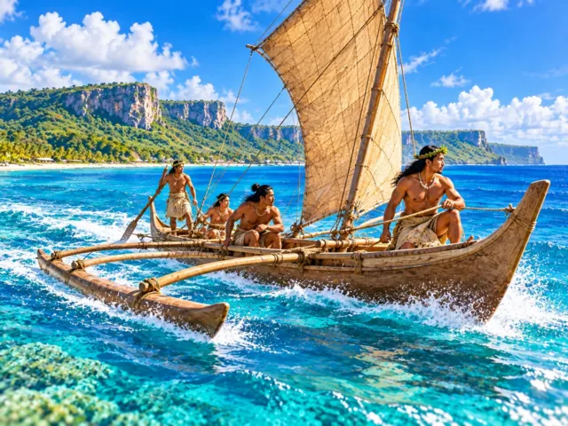
Guam’s west coast faces the generally calmer Philippine Sea, and many major hotel, business and residential areas, including Tumon, are concentrated on the west side. The east coast faces the open Pacific Ocean, where stronger ocean swell often meets the narrow coastal shelf. The contrast makes the island’s two coasts feel quite different despite Guam’s small size.
Which village is at Guam’s southern tip and serves as the gateway to Cocos Island?
- A Dededo
- B Yigo
- C Malesso’
Answer: C. Malesso’
Malesso’, commonly also written Merizo, is Guam’s southernmost village. The Mayors’ Council of Guam identifies it as the village at the island’s southern tip, with Cocos Island just offshore. Boats to Cocos Island depart from the Malesso’ area. Compared with the developed north, southern Guam offers a landscape of hills, coastline and traditional villages.
Which languages are legally designated as Guam’s official languages?
- A English only
- B English and CHamoru
- C English and Japanese
Answer: B. English and CHamoru
Guam law, 1 GCA §706, designates English and CHamoru as the official languages of Guam. English is widely used in government, education and business, while CHamoru is central to the island’s Indigenous cultural heritage. Guam also maintains institutions that work on CHamoru orthography, education, translation and cultural preservation, making language revitalization an important contemporary issue.
What does the common CHamoru greeting “Håfa Adai!” most closely mean?
- A Hello!
- B Goodbye!
- C Good night!
Answer: A. Hello!
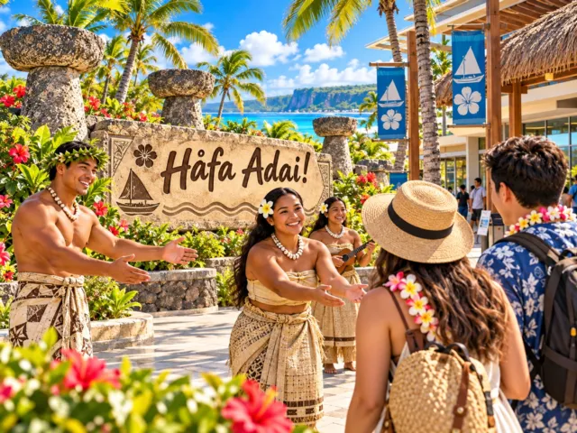
“Håfa Adai!” is Guam’s best-known CHamoru greeting and is commonly used much like “Hello!” The Guam Visitors Bureau lists “Håfa Adai” as the standard CHamoru greeting for “Hello.” Visitors will hear it widely across the island, and it has also come to stand for the island’s welcoming “Håfa Adai Spirit.”
Which CHamoru expression means “Thank you”?
- A Håfa Adai
- B Adios
- C Si Yu’os Ma’åse’
Answer: C. Si Yu’os Ma’åse’
“Si Yu’os Ma’åse’” is a standard CHamoru expression meaning “Thank you.” The Guam Visitors Bureau lists it that way in its guide to simple CHamoru greetings. For visitors, knowing just “Håfa Adai” and “Si Yu’os Ma’åse’” can make interactions in hotels, restaurants, shops and cultural events more personal and respectful.
Which idea is closest to the CHamoru value of “Inafa’maolek”?
- A Putting individual success above everything else
- B Helping one another and creating good relationships
- C Living away from the ocean
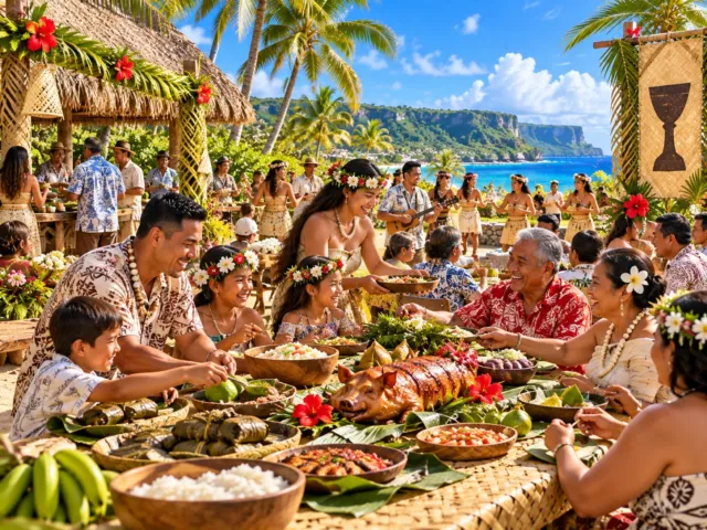
Answer: B. Helping one another and creating good relationships
Inafa’maolek (also written Inafa’ Maolek) is a core CHamoru value meaning “to make good”: restoring harmony and caring for one another through cooperation and sharing. The Guam Visitors Bureau has described it as the hospitality and kindness the CHamoru people give to all. It helps explain why family, kinship, village ties and community cooperation remain important on Guam.
Which best describes a Guam “fiesta”?
- A A religious and community celebration honoring a village or parish patron saint
- B A weekly shopping sale
- C Ancient CHamoru military training
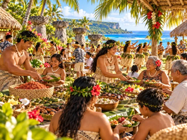
Answer: A. A religious and community celebration honoring a village or parish patron saint
Guam fiestas combine Catholic traditions introduced during the Spanish era with strong local community life. Many villages hold Mass and a procession for a patron saint or religious feast day, followed by a large communal meal shared by families, neighbors and visitors. Tables often include red rice, kelaguen and barbecue. A fiesta is therefore both a religious observance and a major expression of kinship, hospitality and village identity.
Which best describes Guam’s signature dish kelaguen?
- A It is always simmered with a large amount of sugar
- B Cheese is the main ingredient
- C Meat or seafood is seasoned with lemon juice, salt and hot pepper
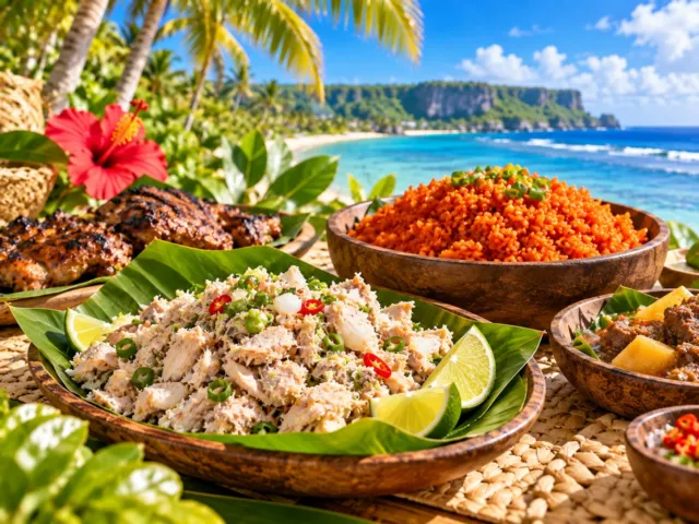
Answer: C. Meat or seafood is seasoned with lemon juice, salt and hot pepper
Kelaguen is one of Guam’s signature CHamoru dishes. Chopped meat or seafood is mixed with ingredients such as lemon juice, salt, hot pepper, onion and grated coconut. The Guam Visitors Bureau notes that seafood kelaguen can use citrus acidity to “cook” the protein without heat. Chicken kelaguen is especially common and appears at fiestas, restaurants and family meals.
What is commonly used to give Guam red rice its reddish-orange color?
- A Matcha
- B Achiote seed
- C Blueberries
Answer: B. Achiote seed
Red rice, a staple at Guam fiestas and barbecues, gets its characteristic reddish-orange color and flavor from achiote seed, also called annatto in English. Guam tourism materials specifically describe fiesta red rice as colored with achiote seed. It is often served alongside kelaguen, barbecue and other local dishes and has become one of the most recognizable foods on a Guam plate.
Which invasive animal was accidentally introduced to Guam after World War II and caused severe declines in native birds?
- A Brown treesnake
- B Komodo dragon
- C American alligator
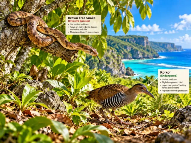
Answer: A. Brown treesnake
The brown treesnake, Boiga irregularis, is believed to have reached Guam accidentally in cargo after World War II. According to the USGS, it is native to areas including New Guinea, Indonesia, the Solomon Islands and Australia. With abundant prey and few controls on Guam, its population expanded rapidly. Predation by the snake caused the disappearance or severe decline of many native bird species and remains a major conservation and biosecurity problem.
What is Guam’s endemic flightless bird “Ko’ko’” called in English?
- A Guam Eagle
- B Guam Penguin
- C Guam Rail
Answer: C. Guam Rail
The Ko’ko’ is the Guam rail, a flightless bird endemic to Guam. The U.S. Fish and Wildlife Service describes it as a small, fast-running bird with short wings and strong legs. Brown treesnake predation devastated the wild population on Guam, but captive breeding and reintroduction programs prevented extinction. Wild populations have since been established on places including Rota and Cocos Island, making the Ko’ko’ a symbol of Guam conservation.
Which statement about Guam’s representative in the U.S. Congress is correct?
- A Guam elects two U.S. senators like a state
- B Guam elects a Delegate to the House who does not have the same final floor vote as a state representative
- C Guam sends no representative at all to Congress
Answer: B. Guam elects a Delegate to the House who does not have the same final floor vote as a state representative
Federal law, 48 USC §1711, provides that Guam elects a nonvoting Delegate to the U.S. House of Representatives. The Delegate can participate in many congressional activities, including introducing legislation, committee work and debate, but does not have the same final vote on the House floor as a voting member elected from a state. Most Guam residents are U.S. citizens, yet Guam is not a state, so its federal representation differs from that of the 50 states. Under current House rules, the Delegate can also vote in the Committee of the Whole on amendments, but if those votes decide the result, the vote is retaken without them; the Delegate has no vote on final passage in the House itself.
Sources
- U.S. National Park Service
- Guam Visitors Bureau
- U.S. Department of the Interior
- U.S. Congress
- U.S. Geological Survey
- Guam Bureau of Statistics and Plans
- Mayors’ Council of Guam
- NOAA (National Oceanic and Atmospheric Administration)
- Judiciary of Guam
- U.S. Fish and Wildlife Service
- U.S. House of Representatives (U.S. Code)